Service designed to analyse images captured from an overhead perspective for terrain segmentation. Its aim is to identify crops, agricultural activity and different landscape elements using image-analysis libraries.
Based on this processing, the service can generate segmentation layers in JSON format, providing a structured representation of the information extracted from the images.
The solution focuses on processing visual information relating to land and the agricultural environment. This makes it possible to transform overhead images into segmented, organised data for subsequent analysis or integration.

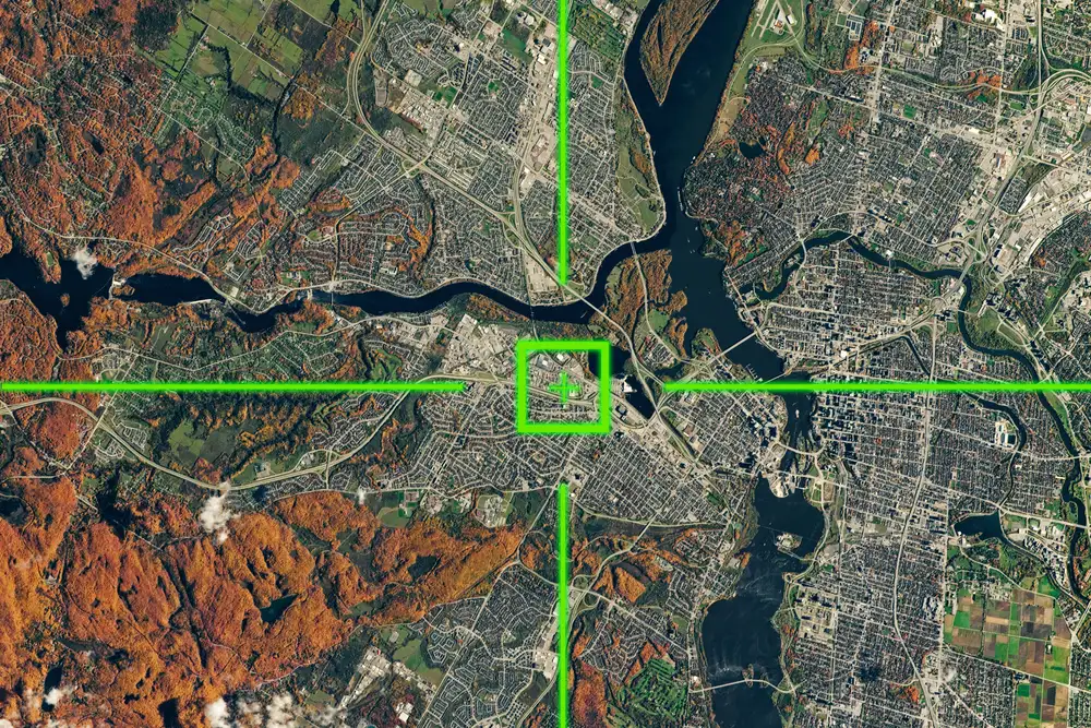
We transform the information contained in overhead images into structured segmentation layers. This provides JSON-format data on crops, agricultural activity and landscape elements identified through image analysis.
Request a demo