Video analytics libraries with aerial imagery is an advanced software modules for detecting, classifying, and tracking objects using images captured from aerial platforms like UAVs, satellites, or aircraft.
Combines classical computer vision and Deep Learning to interpret complex scenes. Compatible with visible and thermal images, incorporating preliminary terrain and marine surface segmentation.
Intelligent Aerial Image Analysis
Oriented toward automated aerial imagery analysis for large-area surveillance, monitoring, and reconnaissance. Identifies and tracks objects like boats or aquaculture rafts (mussel platforms) from different aerial platforms, optimizing sensor data exploitation.
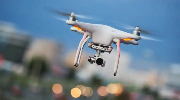
Higher Accuracy in Aerial Surveillance
Transforms images captured from unmanned platforms and aerial observation systems into valuable operational data. The mix of AI, computer vision, and multispectral analysis improves target detection accuracy, reduces interpretation times, and enables rapid decision-making across scenarios.
Request a demo